A Whiteparish local history page from younsmere-frustfield.org.uk
This page contains 4 panels across and 4 top to bottom: click on any tile to open that tile for viewing.
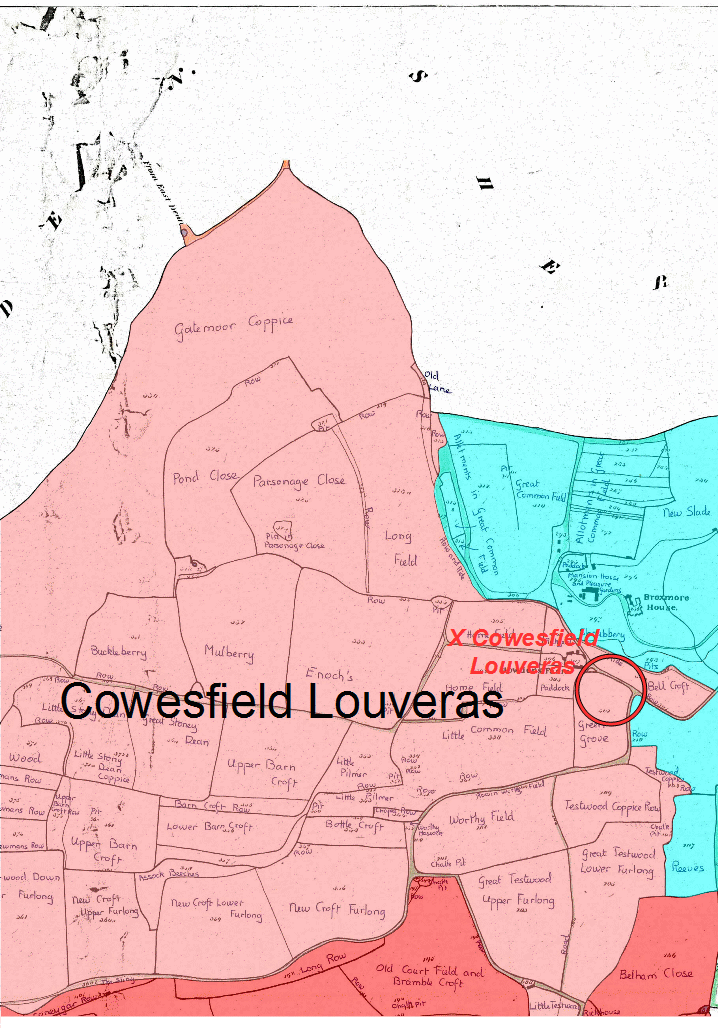
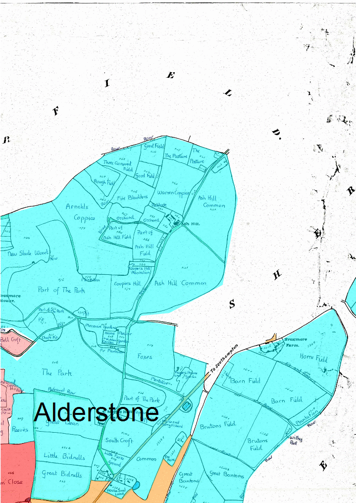
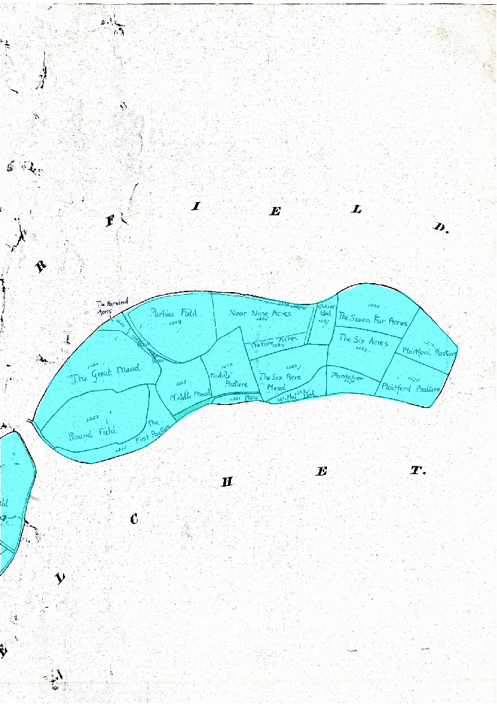
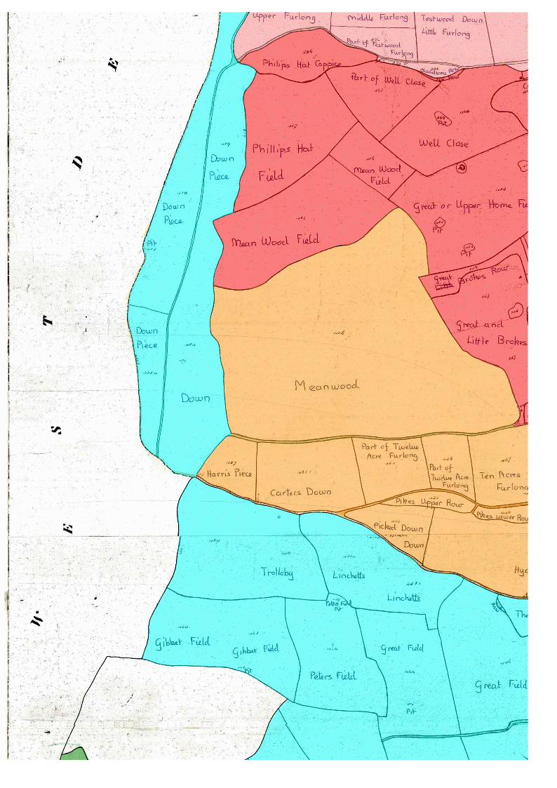
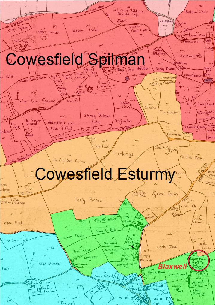
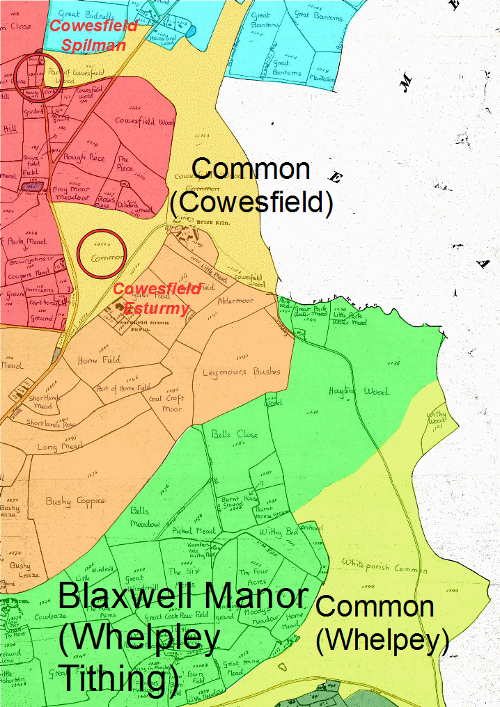
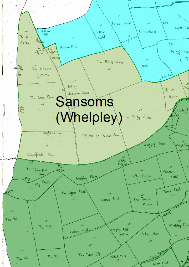
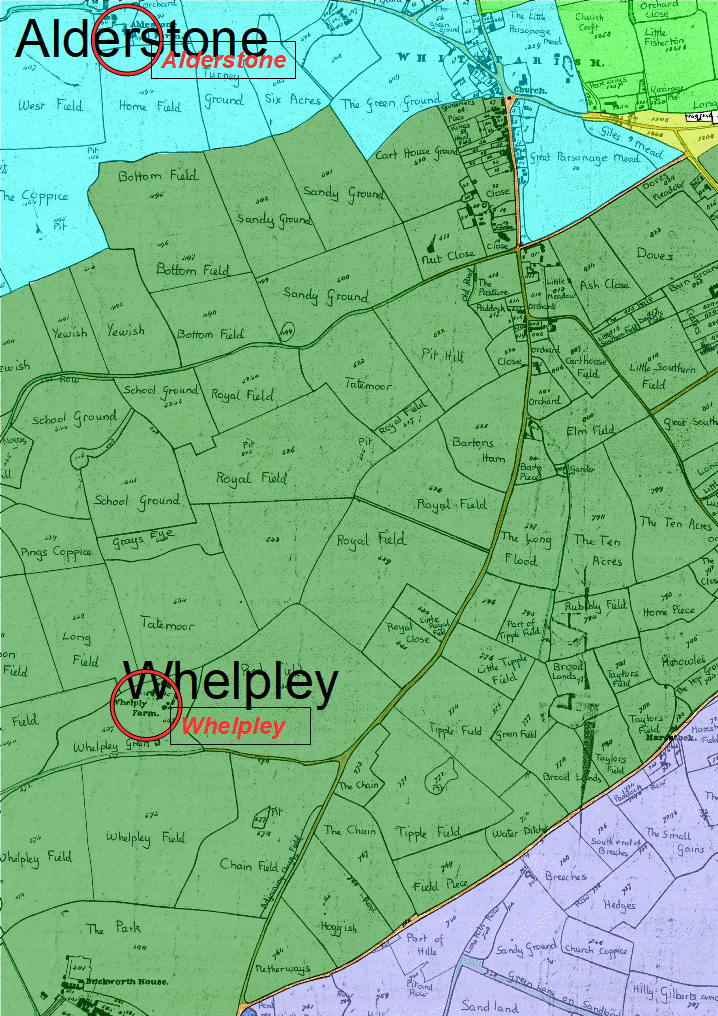
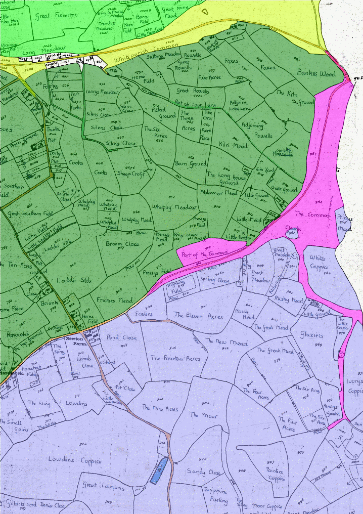
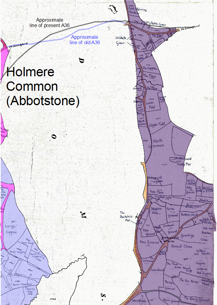
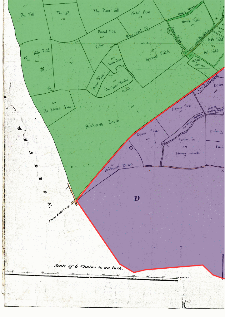
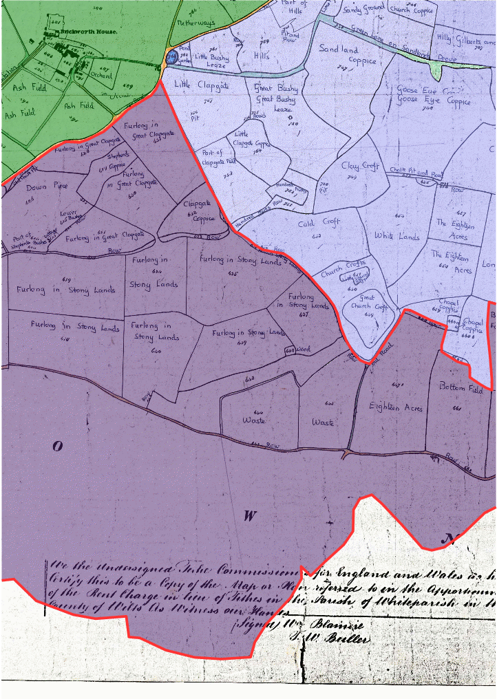
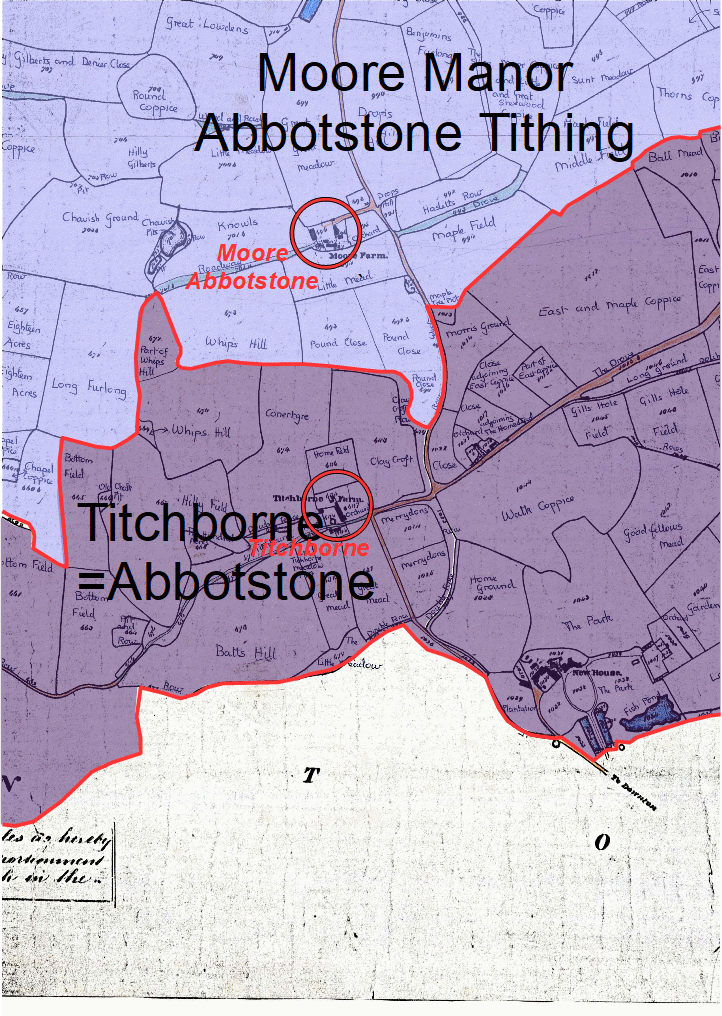
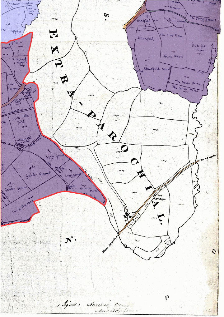
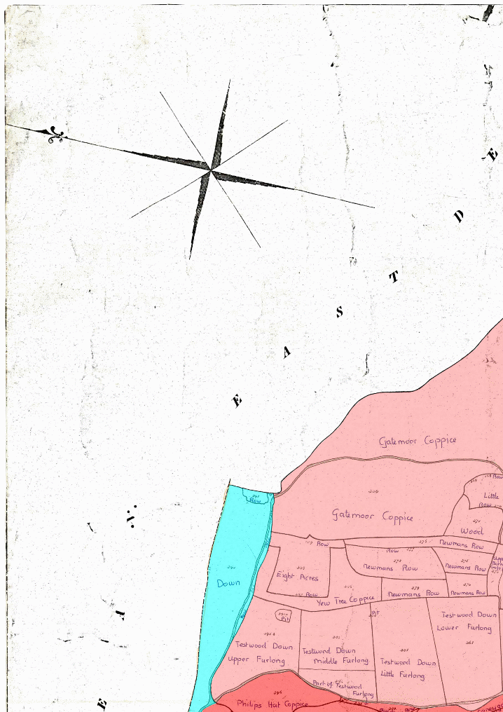
MANORS & TITHINGS Click here for maps coloured with landowners or occupiers or roads and paths or commons or land use or uncoloured [work in progress].